
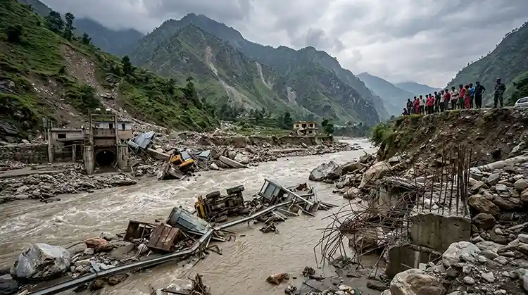





Sindhupalchok, the district long recognized nationwide as Nepal’s most disaster-prone region, has come through this year’s monsoon season without a single major catastrophic event, according to the District Natural Disaster Rescue Committee. For a district that has buried hundreds of its people under landslides and lost entire villages to flash floods over the past four decades, the news of a disaster-free monsoon in 2026 marks a rare and welcome exception rather than the rule.
Sindhupalchok’s relationship with monsoon-triggered floods, landslides, and debris flows stretches back generations, and the district’s mountainous terrain, fragile geology, and location along major river systems such as the Bhotekoshi, Melamchi, Indrawati, and Sunkoshi have made it a recurring hotspot for some of Nepal’s deadliest natural disasters. This article traces that history in detail, explains why the district remains so vulnerable, and looks at what local authorities are doing to prevent the next tragedy.
Why Sindhupalchok Is Nepal’s Most Disaster-Prone District
Sindhupalchok sits in Bagmati Province, roughly 60 to 80 kilometers northeast of Kathmandu, straddling some of the steepest and most geologically unstable terrain in the Nepal Himalaya. Several major rivers, including the Bhotekoshi, Sunkoshi, Melamchi, and Indrawati, cut through the district’s narrow valleys, and decades of heavy monsoon rainfall, deforestation, unplanned road construction, and loose glacial and post-earthquake debris have combined to make hillsides here especially prone to collapse.
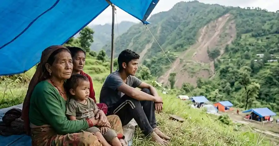
The district’s vulnerability was made dramatically worse after the devastating 2015 Gorkha earthquake, which loosened millions of cubic meters of rock and soil across Sindhupalchok’s slopes. Researchers with the International Centre for Integrated Mountain Development (ICIMOD) have noted that earthquake-shaken slopes in this part of Nepal remain highly susceptible to landslides for years afterward, especially once heavy monsoon rain saturates the loosened debris. That combination of seismic damage and intense seasonal rainfall explains why Sindhupalchok has suffered such a concentrated string of disasters since 2014.
A Timeline of Sindhupalchok’s Major Monsoon Disasters
1982: The Bhotekoshi Flood That Killed Nearly 100 People
One of the earliest large-scale disasters on record struck in mid-monsoon of 1982 (15 Bhadau 2039 BS), when a violent flash flood tore through the Bhotekoshi River in what is now Jugal Rural Municipality, sweeping through the Kattike and Falamsangu areas. The flood claimed the lives of 97 people, destroyed more than 30 houses and settlements, and washed away the Falamsangu police post along with it. Decades before Nepal had modern early-warning systems for glacial and rain-triggered floods, this disaster set the tone for what would become a recurring pattern in the district.
1987: The Ghorthali Landslide
A few years later, in 2044 BS (around 1987–88), a massive landslide struck Ghorthali in what is now Ward 1 of Barhabise Municipality. The landslide buried a large number of residents and destroyed dozens of homes and settlements, remaining one of the deadliest recorded slope failures in the district’s pre-1990s history.
2014: The Jure Landslide, One of Nepal’s Deadliest
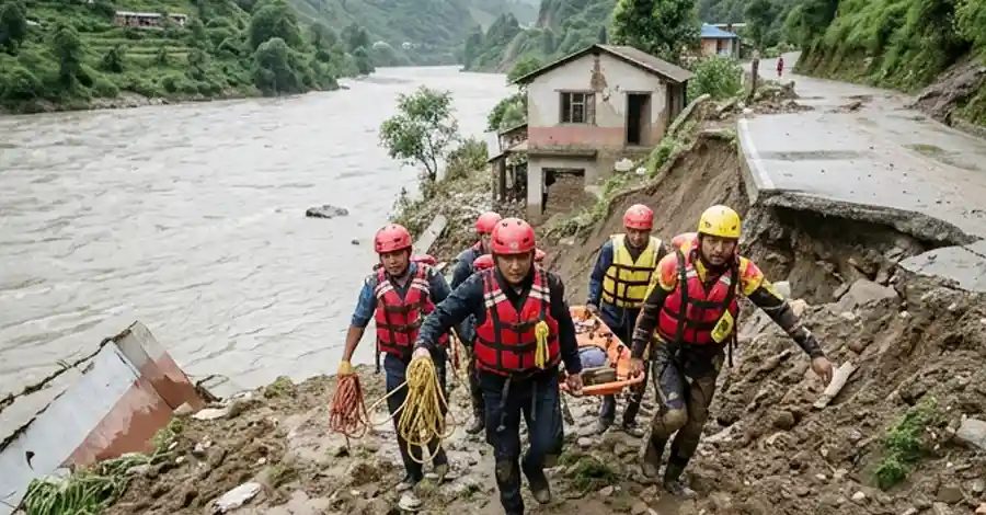
On 2 August 2014 (17 Saun 2071 BS), a colossal landslide broke away from a hillside above Jure village in what is now Balefi Rural Municipality, Ward 8. According to figures compiled by Nepal’s District Natural Disaster Rescue Committee, 145 people were killed in the immediate area, while independent research published by the International Journal of Disaster Risk Science and case-study documentation from PreventionWeb put the overall death toll as high as 156, making it one of the deadliest single landslides in modern Nepali history.
The landslide released an estimated 5 to 6 million cubic meters of rock and debris that thundered down onto the Sunkoshi River, according to analysis by ICIMOD. The debris dammed the river entirely, forming an artificial lake roughly two to three kilometers long that threatened to burst and flood communities further downstream.
The landslide destroyed 153 homes along with a school, a resort, and other structures, submerged hundreds more homes in the resulting reservoir, and severed the Araniko Highway, Nepal’s only direct road link to China through this corridor, according to a summary published by the Kathmandu Post. Authorities and the Nepali Army spent much of that August carefully draining the newly formed lake to prevent a catastrophic dam-burst flood downstream.
2015: The Gorkha Earthquake’s Devastating Toll on Sindhupalchok
Although not a monsoon-related disaster, the 25 April 2015 earthquake (12 Baishakh 2072 BS) deserves mention because of the scale of destruction it inflicted on this same district and because of how it reshaped the district’s vulnerability to future landslides. According to the District Natural Disaster Rescue Committee, 3,557 people lost their lives in Sindhupalchok during the earthquake.
while more than 90,000 structures were completely destroyed, making it the hardest-hit district in the entire country. The earthquake is excluded from official monsoon disaster statistics because it was seismic rather than rainfall-triggered, but its legacy of shattered, unstable slopes directly contributed to the wave of landslides that followed in subsequent monsoon seasons.
2020: A Single Monsoon Season, Multiple Catastrophes
The 2020 monsoon proved to be one of the most devastating in the district’s recent history, with a cluster of separate disasters striking within a span of just two months.
Barhabise Flood (July 2020): On 24 Asar 2077 BS, a violent flash flood struck Jambu in Ward 5 of Barhabise Municipality, killing two people. The same Bhotekoshi River flood left 17 people still listed as missing years later, according to the district disaster committee.
Bhotekoshi Landslide (July 2020): A week later, on 31 Asar 2077 BS, a landslide in Phupinggaun of Bhotekoshi Rural Municipality killed five members of a single family and completely destroyed three houses.
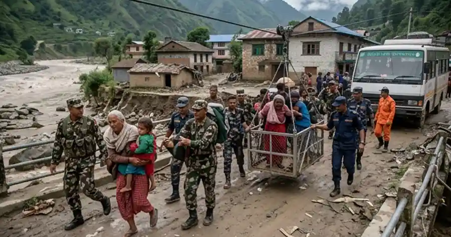
Melamchi and Panchpokhari Landslides (August 2020): On 18 Saun 2077 BS, a landslide above the Melamchi Municipality bazaar area killed nine people. On the very same day, a separate landslide in Baruwa, Panchpokhari Thangpal Rural Municipality, buried a house and killed two more people.
Barhabise (Ghumthang) Landslide (September 2020): On 28 Bhadau 2077 BS, a landslide struck the villages of Nagpuje and Bhirkharka in Ghumthang, Ward 7 of Barhabise Municipality. Thirty-one people were reported missing; police later recovered 15 bodies from the debris. The landslide completely destroyed 27 homes.
2021: The Helambu–Melamchi Flood Disaster
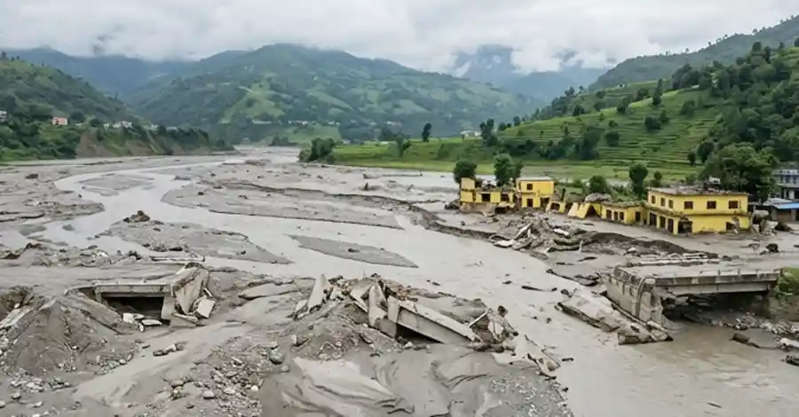
On 1 Asar 2078 BS (15–16 June 2021), a massive landslide originating above Bhemathang in the Helambu area transformed into a catastrophic flash flood that tore through the Melamchi River corridor, killing 26 people according to the district committee’s figures. Independent reporting at the time from the Kathmandu Post, Nepali Times, and The Himalayan Times documented how a landslide upstream temporarily dammed the Melamchi River before bursting suddenly, sending a wall of debris-laden water into Melamchi Bazaar itself.
The flood swept away seven bridges, thirteen suspension bridges, dozens of trout farms, and hundreds of homes and cultivated fields, and also badly damaged infrastructure belonging to the Melamchi Drinking Water Project, a critical supply line for Kathmandu Valley. Wikipedia’s summary of the event places the confirmed death toll at 21 with several more people missing, a figure broadly consistent with the district committee’s count once search-and-recovery operations concluded.
Experts quoted by the Kathmandu Post at the time cautioned that rainfall alone did not explain the scale of destruction, pointing instead to a combination of earthquake-weakened slopes, haphazard road-building, and the sheer volume of loose debris sitting above the Melamchi valley since 2015.
2024: Heavy Rainfall Kills 12 in a Single Day
Most recently, on 12 Asoj 2081 BS (September 2024), intense rainfall triggered multiple fatal incidents across the district in a single day. Five people died in Lisankhu Pakhar Rural Municipality, four died in Kunegaun of Jugal Rural Municipality, and three more were killed when a resort in Sindhu Bich, Sunkoshi Rural Municipality, was buried, according to the district disaster committee.
2026: A Rare Monsoon Without Major Disaster
Against this backdrop of near-annual catastrophe, the district disaster committee’s report that Sindhupalchok has avoided any major monsoon-related disaster in 2026 stands out as genuinely significant news. While the district recorded scattered incidents of road blockages and minor landslides typical of any Himalayan monsoon season, no event this year has approached the scale of the fatalities and destruction seen in 2014, 2020, 2021, or 2024.
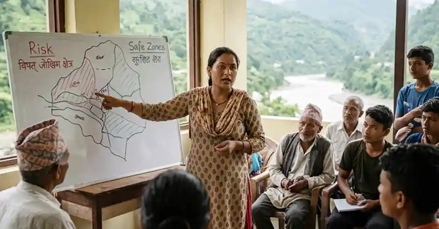
Local officials attribute part of this outcome to intensified disaster-preparedness work carried out across the district’s twelve local government units in recent years. Barhabise Municipality Mayor Balkrishna Basnet has said that reducing the risk of loss of life and property from monsoon rains has been made a governance priority, with local authorities working to identify high-risk zones in advance and pre-position rescue and relief resources before the rains intensify.
How Local Governments Are Preparing for Future Disasters
Following the string of disasters between 2014 and 2024, Sindhupalchok’s local governments have increasingly focused on proactive risk reduction rather than reactive relief. Reported measures include:
- Mapping known landslide-prone and flood-prone zones across all twelve local units
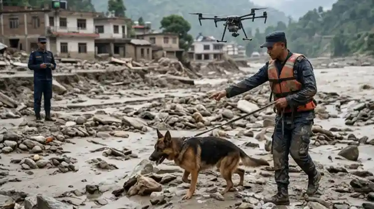
- Pre-positioning rescue equipment, relief supplies, and emergency personnel ahead of peak monsoon months
- Coordinating with Nepal Police, the Armed Police Force, and the Nepali Army for rapid-response search-and-rescue capacity
- Community-level early-warning communication in flood-prone river corridors such as Melamchi, Bhotekoshi, and Indrawati
These efforts echo broader national and international guidance on landslide and flood risk reduction. The United Nations Office for Disaster Risk Reduction and organizations such as ICIMOD have repeatedly flagged Nepal’s mid-hill districts, especially those affected by the 2015 earthquake, as requiring sustained investment in slope stabilization, resettlement of high-risk households, and community-based early-warning systems.
Climate Change and Nepal’s Growing Disaster Risk
Sindhupalchok’s disaster history cannot be separated from the broader climate picture facing Nepal’s mountain districts. Scientists studying the Hindu Kush Himalaya region have repeatedly warned that rising temperatures are intensifying monsoon rainfall variability, accelerating glacial melt, and increasing the frequency of extreme, short-duration downpours capable of triggering flash floods and landslide dams, of the kind seen in Melamchi in 2021. Districts like Sindhupalchok, already destabilized by the 2015 earthquake and characterized by steep, deforested slopes, sit squarely in the path of this compounding risk.
For residents of Sindhupalchok, this year’s disaster-free monsoon offers a measure of relief, but the district’s long and painful history, from the Bhotekoshi flood of 1982 through the Jure landslide of 2014 to the Melamchi flood of 2021, is a reminder that vulnerability here is deeply rooted in geography, geology, and a changing climate. Sustained investment in early-warning systems, slope stabilization, and community preparedness will likely determine whether future monsoons bring more years like 2026, or a return to the catastrophic losses of the past.
The Human and Economic Cost of Sindhupalchok’s Disasters
Beyond the death tolls, the cumulative economic damage from four decades of floods and landslides in Sindhupalchok runs into billions of Nepali rupees. Roads, bridges, schools, hydropower infrastructure, drinking-water projects, and farmland have been repeatedly destroyed and rebuilt, only to be threatened again in subsequent monsoons.
The Araniko Highway, Sindhupalchok’s vital trade link to the Tibet Autonomous Region of China, has been severed multiple times, most notably during the 2014 Jure landslide, disrupting cross-border commerce for months at a stretch.
Research into the aftermath of the Jure landslide, published in the International Journal of Disaster Risk Science, found that poorer households in the affected area lost assets worth up to 14 times their annual income, a stark illustration of how disproportionately these disasters affect the district’s most vulnerable families.
Many survivors from the 2014, 2020, and 2021 disasters have reported years-long delays in receiving government compensation, temporary shelter, or resettlement to safer land, a recurring complaint documented by local reporters covering the district.
Frequently Asked Questions About Sindhupalchok’s Monsoon Disasters
Why does Sindhupalchok experience so many landslides and floods? The district’s steep, geologically young mountain terrain, combined with heavy monsoon rainfall, deforestation, and slope destabilization from the 2015 earthquake, makes it one of the most landslide- and flood-prone districts in Nepal.
What was the deadliest disaster in Sindhupalchok’s history? The 2015 Gorkha earthquake killed the most people in the district, with 3,557 deaths, though it is classified separately from monsoon disasters since it was seismic, not rainfall-triggered. Among monsoon and rainfall-related events, the 2014 Jure landslide, with a death toll of up to 156, ranks as the deadliest.
Has Sindhupalchok had any disaster-free monsoon seasons before? Isolated years with only minor incidents have occurred, but a monsoon season entirely free of major, high-casualty disasters, as reported for 2026, is uncommon for a district that has recorded a serious event in most years since 2014.
What is being done to prevent future disasters in the district? Local governments across Sindhupalchok’s twelve municipalities and rural municipalities have stepped up landslide and flood-risk mapping, pre-positioned rescue equipment and relief supplies ahead of monsoon season, and strengthened coordination with Nepal Police, the Armed Police Force, and the Nepali Army for faster emergency response.
Which rivers in Sindhupalchok are most associated with flood disasters? The Bhotekoshi, Sunkoshi, Melamchi, and Indrawati rivers have each been the source of major flash floods or landslide-dam failures in the district over the past four decades.
Lessons From Four Decades of Disaster Response
Looking across the timeline from 1982 to 2024, a pattern emerges: Sindhupalchok’s worst disasters have consistently struck river corridors below steep, deforested, or earthquake-weakened slopes, and almost always during the peak monsoon months of Asar, Saun, and Bhadau (roughly mid-June through early September).
Disaster researchers point to this seasonal and geographic clustering as an opportunity, not just a warning. Because the highest-risk windows and locations are now well documented, authorities have a much clearer basis for targeted, rather than blanket, monsoon preparedness.
Community-based early-warning systems, of the kind credited with saving lives during the 2021 Melamchi flood when residents were alerted and moved to higher ground before the flash flood struck, are increasingly seen as one of the most cost-effective tools available to districts like Sindhupalchok. Expanding such systems along the Bhotekoshi, Indrawati, and Sunkoshi corridors, alongside continued slope stabilization and resettlement of households in the highest-risk zones, remains central to the district’s long-term disaster-reduction strategy.
For now, Sindhupalchok’s disaster-free 2026 monsoon stands as a hopeful data point in an otherwise sobering record, one that officials and residents alike will be watching closely to see whether it marks the beginning of a genuine turnaround or simply a single quiet year in a district that has rarely been given the chance to rest.
Key Takeaways
- Sindhupalchok recorded no major monsoon disaster in 2026, a rare exception in a district known nationally for recurring floods and landslides.
- The 2014 Jure landslide killed between 145 and 156 people and remains one of Nepal’s deadliest single landslides.
- The 2015 earthquake killed 3,557 people in the district alone and destroyed more than 90,000 structures, worsening slope stability for years afterward.
- The 2020 monsoon alone produced at least five separate fatal flood and landslide events across the district.
- The June 2021 Melamchi flood killed at least 21–26 people and destroyed multiple bridges and hundreds of homes.
- Local governments are prioritizing disaster preparedness, risk mapping, and rapid-response coordination to reduce future losses.

Economic Affair
- Budhigandaki Flood: 47 Rescued as Bridges Washed Away
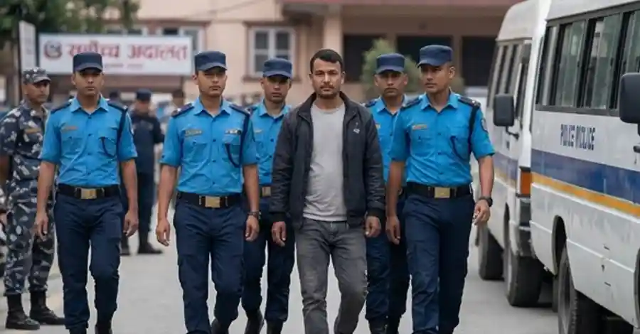
- Nepal Supreme Court Handcuff Order: Police Barred From Routine Use
- 250+ Officials Deploy to Assess Rasuwa-Bhotekoshi Flood Damage
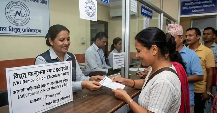
- Electricity VAT: Energy and Finance Ministers Strike Landmark Deal After Just 2 Months
- Nepal Inflation Shockingly Triples to 5.96% — Food and Transport Hit Hardest



Comments